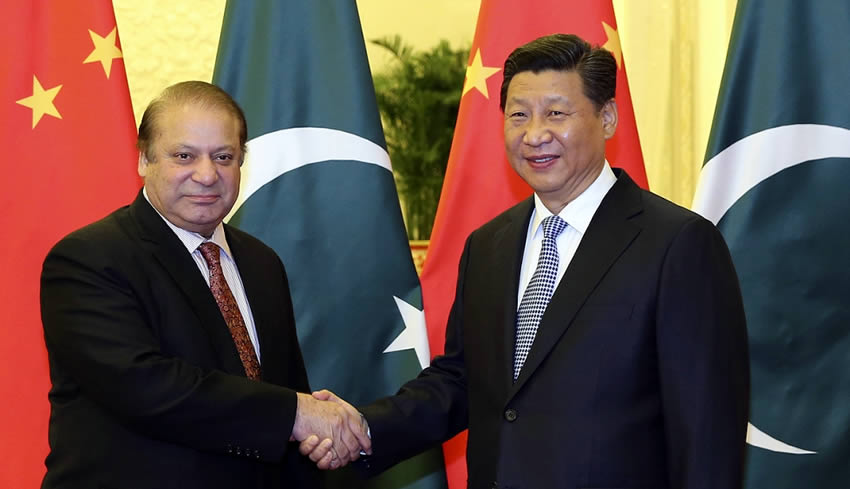
Recently the world press has been rife with announcements about mega-‐projects China’s President Xi Jinping, announced during his April 2015 visit to Islamabad.
[contentblock id=1 img=adsense.png]
Chinese will make a staggering $45.69 billion investment in Pakistan’s infrastructure over the next 15 years. Interestingly, this is not a loan nor aid, but a direct investment into Pakistan.
The magnitude and ambition of the announcement made the Wall Street Journal trace its culminating effect on Pakistan’s infrastructure on a map of Pakistan would look by 2030 (locations of proposed highways and power plants). A footnote also jeers at the paltry $5 billion invested by the US in Pakistan since 2009 for civilian development under the Kerry-‐Lugar bill. There exists a lot of skepticism about this ambitious announcement; based upon a negative sense of déjà vu about similar past announcements on projects involving Pakistan and China. The Karakoram Highway (KKH) and The Gawadar Port were similar megaprojects, launched with a lot of fanfare and holding promises to substantially transform commerce and connectivity for both countries. Both initiatives lost steam due to one factor or another. Justifiable problems, related to logistical, political or geological factors made these initiatives stutter. Progress in both projects became painstakingly slow. However, both are still considered as achievable, being only “slow-‐born” not “stillborn”.
Read More: First Indication that China was Positive about Invitation for President Xi Jinping
What makes it different this time?
Clues about a different current reality can be ascertained through a closer look at the proposed master plan map. For one, details in the map above point the way.
A question clearly jumps out:
Why does Pakistan need three parallel North-‐South highways?
- The highway one on the extreme right (East of the Indus River) mimics the current North-‐South GT Road. Which connects major population and commerce centers in the country and is home to 80% of Pakistan’s 180 million inhabitants.
- The proposed highway in the West, (connecting Gawadar to Quetta and Peshawar), is planned through sparsely populated area, which is primarily desert.
- The proposed highway in the Middle seems like a facilitator channel to any “overflow” in commercial traffic going north and connecting traffic from the two main seaports of Gawadar and Karachi.
[contentblock id=2 img=gcb.png]
This plan makes sense if the additional highways are meant to haul huge volumes of cargo at high frequency. Allowing cargo to flow faster and better in remote settings. Moving at high speeds would be possible without concerns about noise pollution or interfering local traffic. Such large volumes of trade would not be just for Pakistan. The higher capacity only makes sense for “transit trade” heading north. This volume planned will in turn feed a sizeable market for major investment to provide returns over time. To reach China by road, an obvious bottleneck becomes smooth passage over the treacherous Karakorum Highway over the Himalayas. KKH has been a road continuously plagued with problems. The mountains have an unstable geology with frequent landslides, falling loose rocks, snow slides etc., creating occasional roadblocks over the years. One serious impediment occurred as the result of an avalanche in 2012. The avalanche created a 14 mile, 100 meter deep lake that has permanently submerged local villages along with a section of the KKH highway. This impediment still exists and the KKH highway has not been reconnected in the last four years.
It’s best to view KKH, as it deservedly is, a “Wonder of the World”. To be visited for a breathtaking experience or used as an emergency link between Pakistan and China in critical times. KKH and its current configuration is not a reliable commercial road link for commercial traffic. An optimal solution to traverse the Himalayas would be to find a way to go under the mountains, or at least cross them at lower altitudes. “Tunneling” advances and that also through mountainous rock have already helped China take a form of its “Bullet Train” to Tibet. Similar mountain-‐tunneling solutions are needed to provide smoother gradients in the KKH road to make the crossing into China smoother and more predictable. According to estimates made for a future Pakistan-‐China rail link, such tunneling would require an investment of $8-‐12 billion. This would raise the total cost of the Pakistan corridor to over $75 billion. Such a large outlay of capital has to be feasible and make compelling economic sense? To answer this we must understand the existing structure of the Chinese economy, its dynamics and its plans for future growth. Then only we can determine where the “Pakistan Ramp” fits in to make sense for the Economic China that will exist 50 years from now?
A most important piece of the puzzle
Read More: Chinese President Arrives On Historic Two Day Visit Today
Deng Xiaoping’s Economic Reformation in the 1980s opened the Chinese economy and developed pillars from which it has grown in the last 30 years. These reforms emphasized “Urbanization” and moved 250 million people from rural into urban clusters. Today, these clusters exist as independent economic units, having a captive population (people living and working in these units cannot freely move to other parts of the country), an industrial base with massive commercial and residential infrastructures. These economic clusters have become powerful and some of them have larger economies (GDP) than countries in Europe. A McKinsey study (shown below) illustrates the size and prominence of these “clusters”. The dynamic growth of these clusters adds up today to make China the second largest economy in the world. A blank portion of McKinsey’s “cluster map” in the western half of China shows there to currently being very light to no economic concentration.
This is exactly where the “next act” of the Deng Reformation is underway. Phase-‐Two of the great uprooting or urbanization is in motion. World Bank studies indicate this program comprising of 12 new “City Clusters” being built, to become home to 250 million migrants that will be settled there. The new clusters will have a population equivalent of 75% of the US. The development program has a target completion date of 2025. If China’s 30 years of growth formula is any proof of sustainable growth, their policymakers have just doubled-‐down to make China the richest country in the world with the highest per capital income and over 70% of its population urbanized. With more than 100 million of China’s population still living in poverty, achieving higher levels of per capita growth through creating new cities and new jobs becomes a compelling reason for the drive towards urbanization. In a Mixed Economy – these pivotal future-‐altering decisions are not left to be “made by the market”, but actually lead to “creating new markets”. In this the Chinese are taking a page out of “Supply-‐Side Economics” -‐ betting that “Supply will create its own demand”.
The Ramp
[contentblock id=3 img=adsense.png]
Actually a new “country” – Western China located north of the Himalayas, with almost 75% of the population of the United States is going to be open for business in Like the rest of the Central Asian States, (Tajikistan, Uzbekistan, Kirgizstan) it is primarily landlocked. The nearest access to ports and trade lies more than a thousand miles away. Pacific ports at the Eastern end of Chinese or across Russia towards the Atlantic. Getting fuel and other essential materials to the new “clusters” will be very expensive. Any trade with the outside world will be expensive due to very high transportation costs. As China’s Communist Economy subsidized essentials in the market, including fuel, the subsidies in the new “clusters” will become prohibitively expensive. The nearest access that makes long-‐term economic sense is the development of the “Economic Corridor” through Pakistan. With an investment of less than $75 billion a connection can be built that will become as transformative to commerce, trade, cost of government subsidies, as the effects that Panama and Suez Canals had on Global Trade. It would not only provide for the new city clusters coming up in the West of China, it would actually open all the landlocked countries of Central Asia and connect them to major global trade routes and access to cheaper fuel.
Author: Tariq Malik
Global Investment Banker & China Specialist


